
Beach guide · County Tipperary
Dromineer Beach, Lough Derg, County Tipperary
Official inland bathing or water-access area in County Tipperary
Four ways to orient yourself
Views of Dromineer Beach, Lough Derg
These are map-derived orientation views, not documentary photographs.
Plan the visit
Know before you go
Confirmed, unavailable and unknown are kept separate. Conditions and services can change; check notices when you arrive.
The place
About Dromineer Beach, Lough Derg
Dromineer Beach is located on the eastern shores of Lough Derg, approximately ten kilometers north west of Nenagh town. For map orientation, Mountshannon, Lough Derg (Mountshannon Harbour) is a separate shoreline feature approximately 10. 0 kilometres from here. The marker follows the official monitored or recorded access point; use current signs for the precise usable area. Public access is recorded, but water depth, levels, the usable shore and the final approach can change with weather and local conditions. Treat it as unserviced: do not assume parking, toilets or lifeguard cover, and check current water and weather conditions before entering the water.
Beach details
What the evidence records
Continue nearby
Other places from this point
Distances below are straight-line measurements, not walking or driving distances.
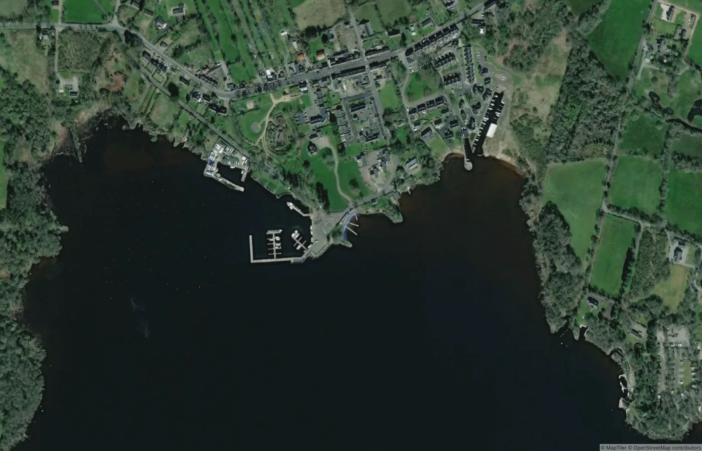 Beach
BeachClare
Mountshannon, Lough Derg (Mountshannon Harbour)
10.0 km straight-line distance
 Beach
BeachClare
Clounty Island Shore
14.0 km straight-line distance
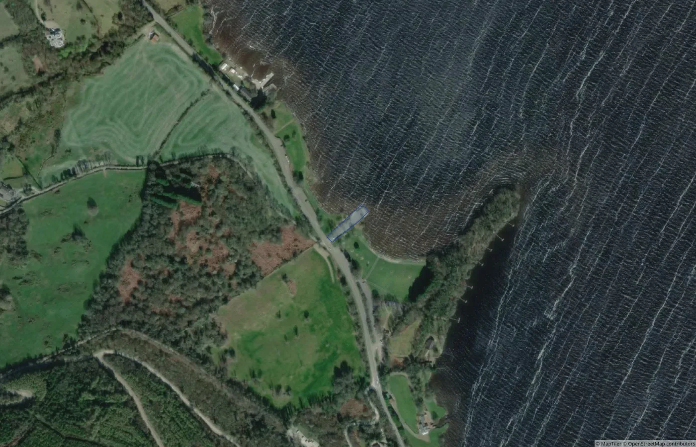 Beach
BeachClare
Ballycuggeran
15.7 km straight-line distance
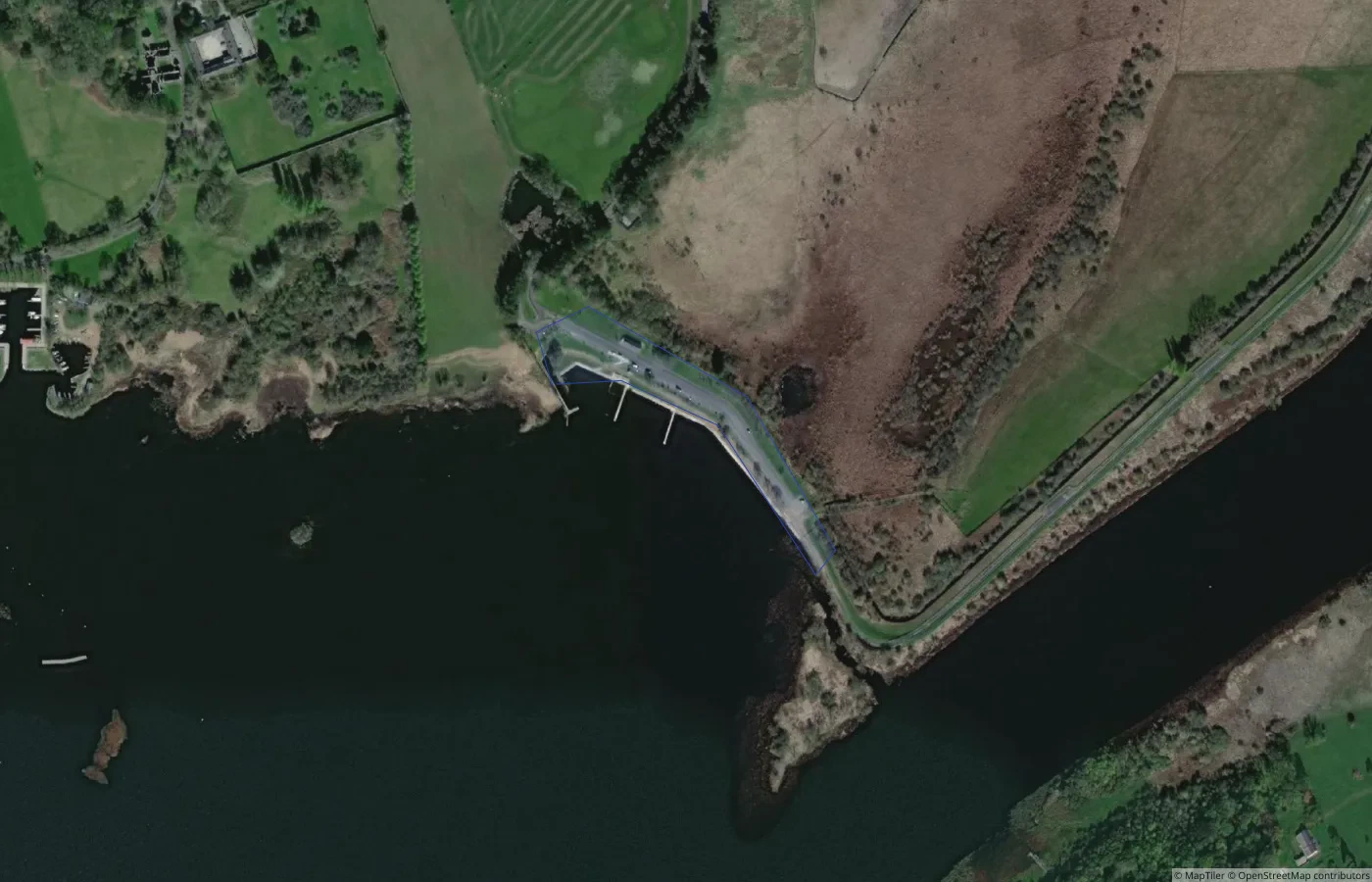 Beach
BeachGalway
Portumna Bathing Place
18.1 km straight-line distance