
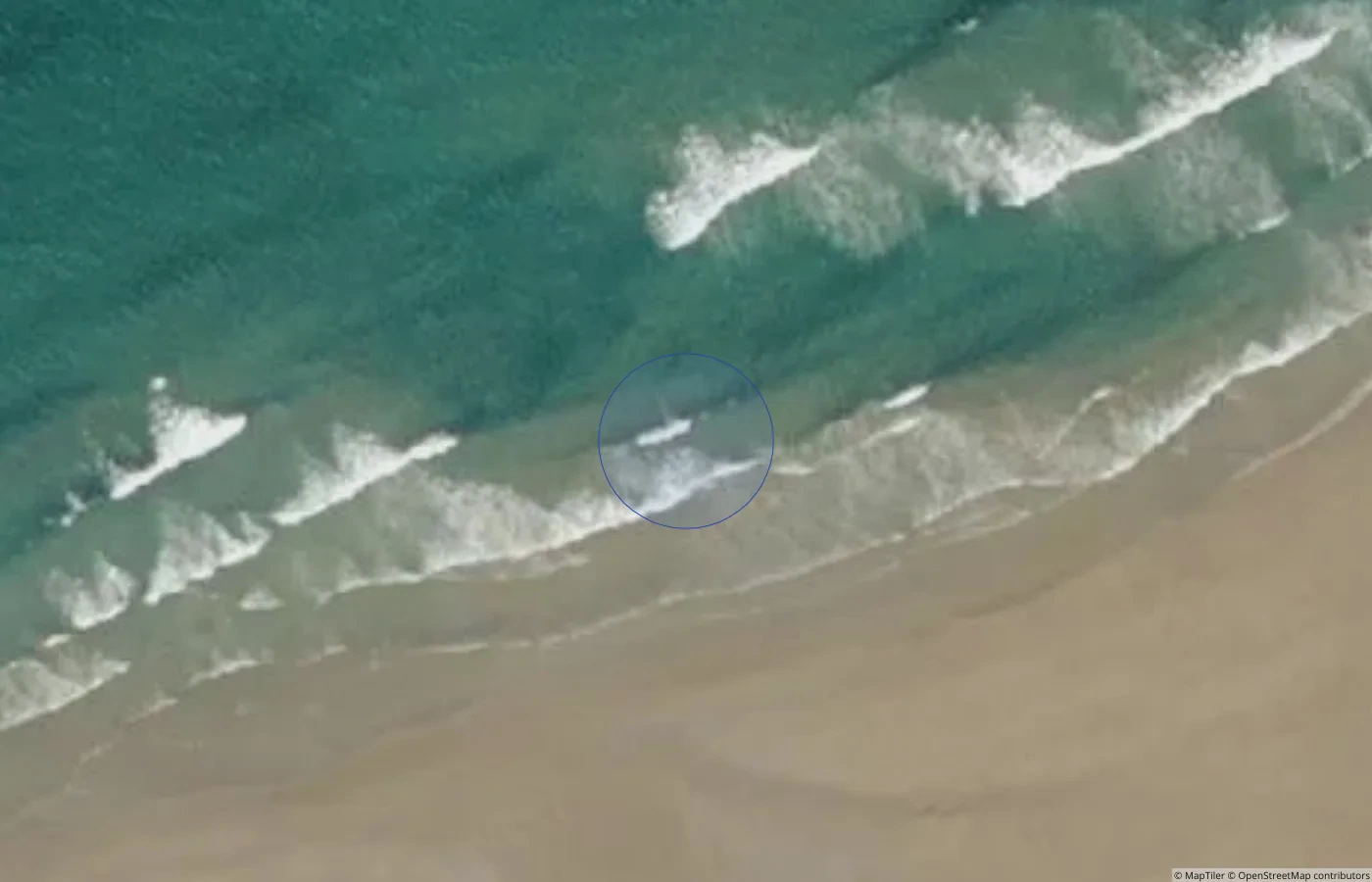
 Beach
BeachDonegal
Ballyhiernan Beach, Fanad
Sandy Donegal bathing beach at Ballyhiernan
Public accessSetting unknown
Open guide 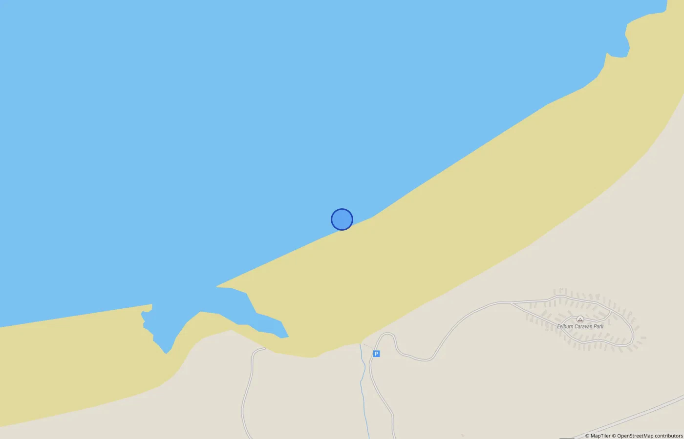
Ireland, place by place
Hidden Beacon maps durable places first, then connects them to their area, history and what happens there. Beaches are the first complete national layer.
Useful collections
These are not rankings. Each collection has an explicit release-backed rule and a complete list.
Across the island
Each guide keeps identity, practical facts, media, evidence and nearby context together while distinguishing unknown from no.
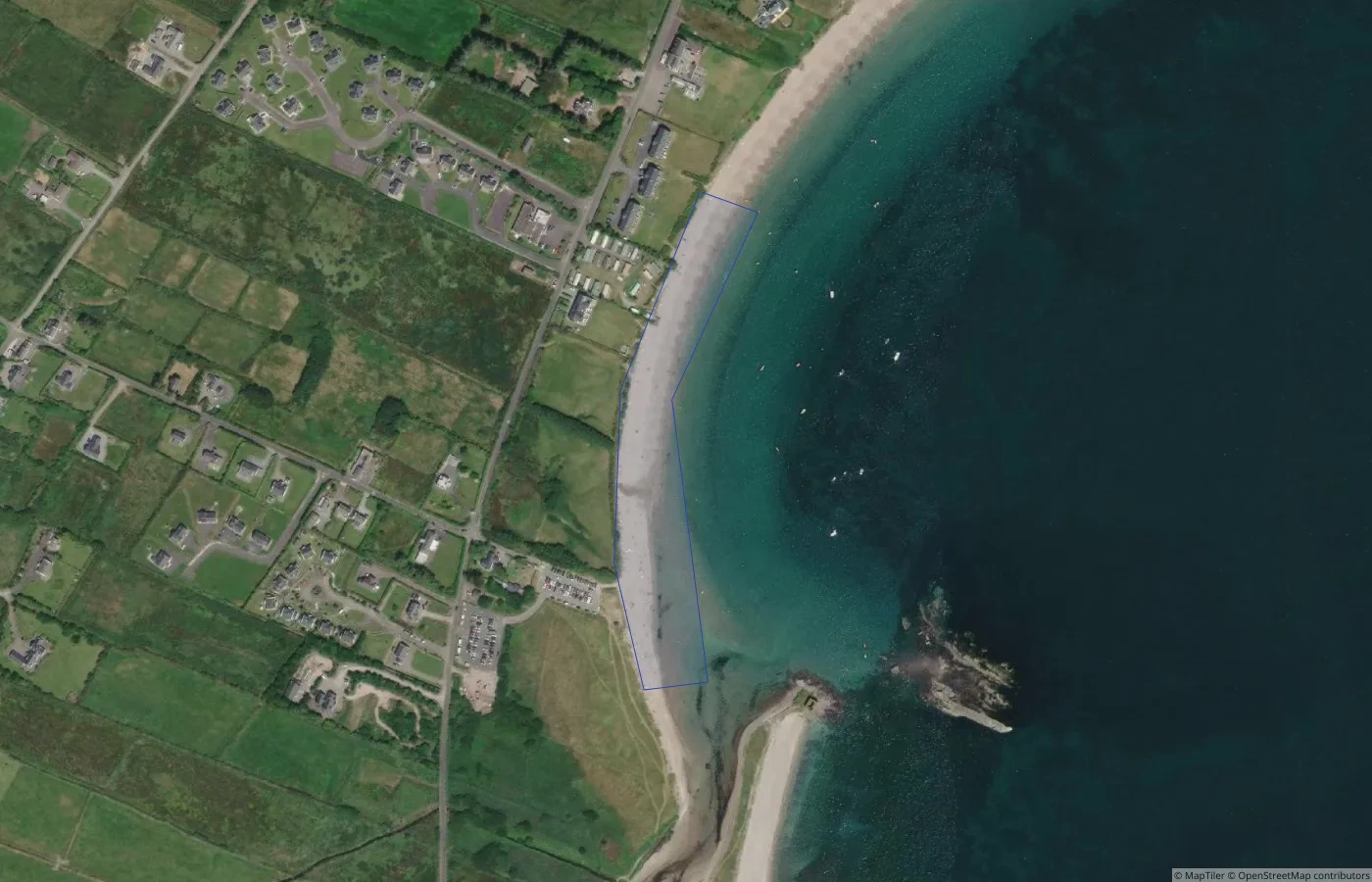
BeachDonegal
Sandy Donegal bathing beach at Ballyhiernan
 Beach
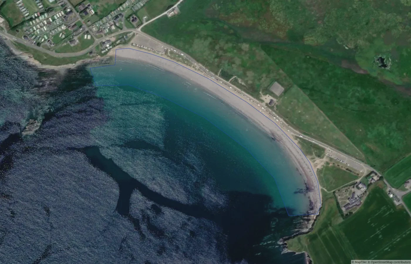
BeachKerry
Sandy beach, sheltered, family-friendly, historic
 Beach
BeachCork
Gently sloping sandy beach framed by cliffs and Atlantic weather
 Beach
BeachMayo
Sandy Mayo bathing beach at Bertra
 Beach
BeachWexford
Sandy Wexford bathing place at Ballymoney North
 Beach
BeachGalway
Sandy Galway bathing place at Loughrea Lake Bathing Area
Shared geographic context
All 26 Republic county identities remain visible. 22 currently contain beach guides; zero-coverage hubs say so directly.
History without duplication
The current release begins with 2 documented lighthouse relations in Donegal. They appear beside the beaches they illuminate; they are not copied indiscriminately onto every nearby page.
See the Donegal history previewCurrent scope
“Complete” refers to the 1,038 verified beach identities in this production release. Informal bathing spots and unverified coastline candidates remain outside the published count until reviewed. Empty events and guides modules stay hidden.
How Hidden Beacon works