
Beach guide · County Mayo
Dooega Beach, Achill Island, County Mayo
Official Mayo bathing beach at Dooega
Four ways to orient yourself
Views of Dooega Beach, Achill Island
These are map-derived orientation views, not documentary photographs.
Plan the visit
Know before you go
Confirmed, unavailable and unknown are kept separate. Conditions and services can change; check notices when you arrive.
The place
About Dooega Beach, Achill Island
Dooega beach is a small crescent shaped cove, which is sheltered from most directions but open to the south and as a result large swells can occur at the rocky outcrop towards the eastern end of the beach. Either side of Camport Bay is steeply sloping hills of Knockmore at a height of 337m and the Menaun Cliffs at a height of 464m. Public access is recorded, but the usable shore and final approach can still change with tide, weather and local conditions. Official information lists parking and toilets; check current availability and local notices before relying on them.
Beach details
What the evidence records
Continue nearby
Other places from this point
Distances below are straight-line measurements, not walking or driving distances.
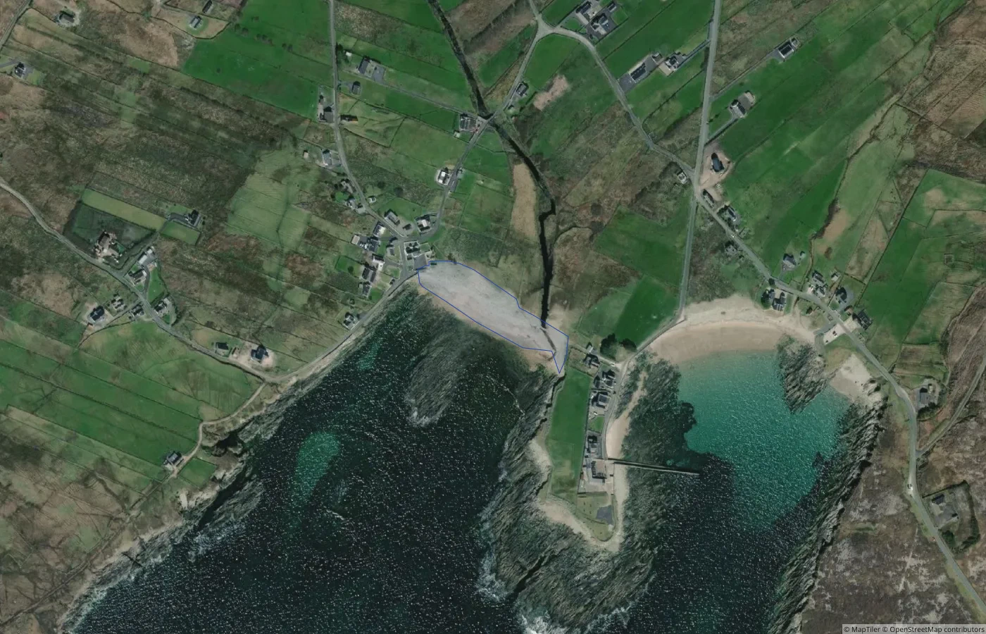 Beach
BeachMayo
Unnamed Natural Shore — Achill Island Coast 09
0.3 km straight-line distance
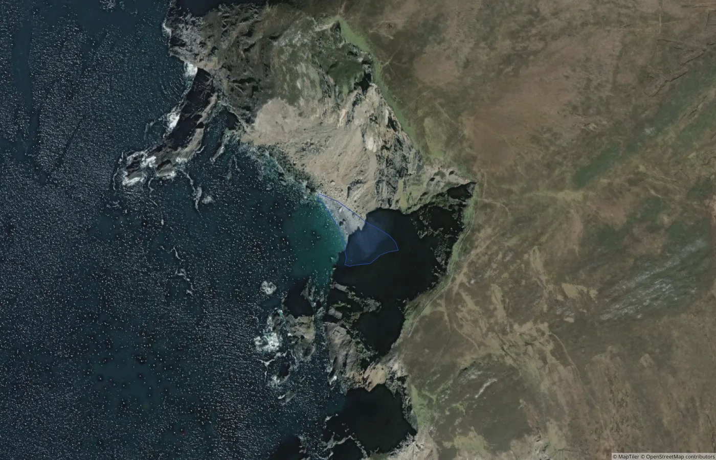 Beach
BeachMayo
Unnamed Natural Shore — Achill Island Coast 10
2.2 km straight-line distance
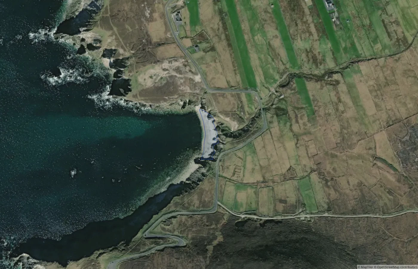 Beach
BeachMayo
Unnamed Pebble Shore — Achillbeg Coast 01
2.7 km straight-line distance
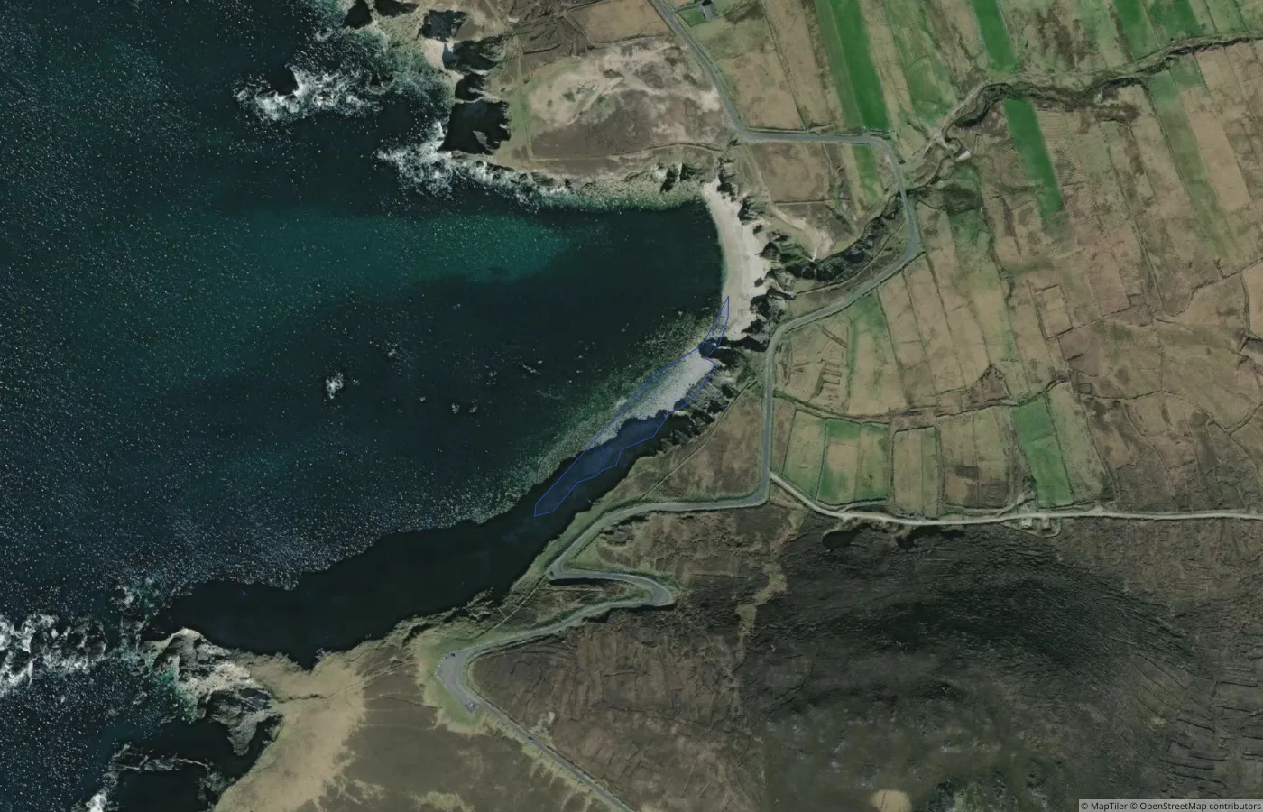 Beach
BeachMayo
Unnamed Pebble Shore — Achillbeg Coast 02
2.8 km straight-line distance