
Beach guide · County Mayo
Bóthar na Scoile Beach, County Mayo
Sand shore on the Erris Coast
Four ways to orient yourself
Views of Bóthar na Scoile Beach
These are map-derived orientation views, not documentary photographs.
Plan the visit
Know before you go
Confirmed, unavailable and unknown are kept separate. Conditions and services can change; check notices when you arrive.
The place
About Bóthar na Scoile Beach
Bóthar na Scoile Beach is a mapped town shore at Belmullet, distinct from the official tidal pool and Shore Road bathing area nearby. The mapped beach name and geometry support the page, but they do not establish swimming quality or permanent facilities. Public access is not fully documented. Follow lawful local routes, check tide, water conditions and notices, and make your own cautious assessment before entering the water.
Beach details
What the evidence records
Continue nearby
Other places from this point
Distances below are straight-line measurements, not walking or driving distances.
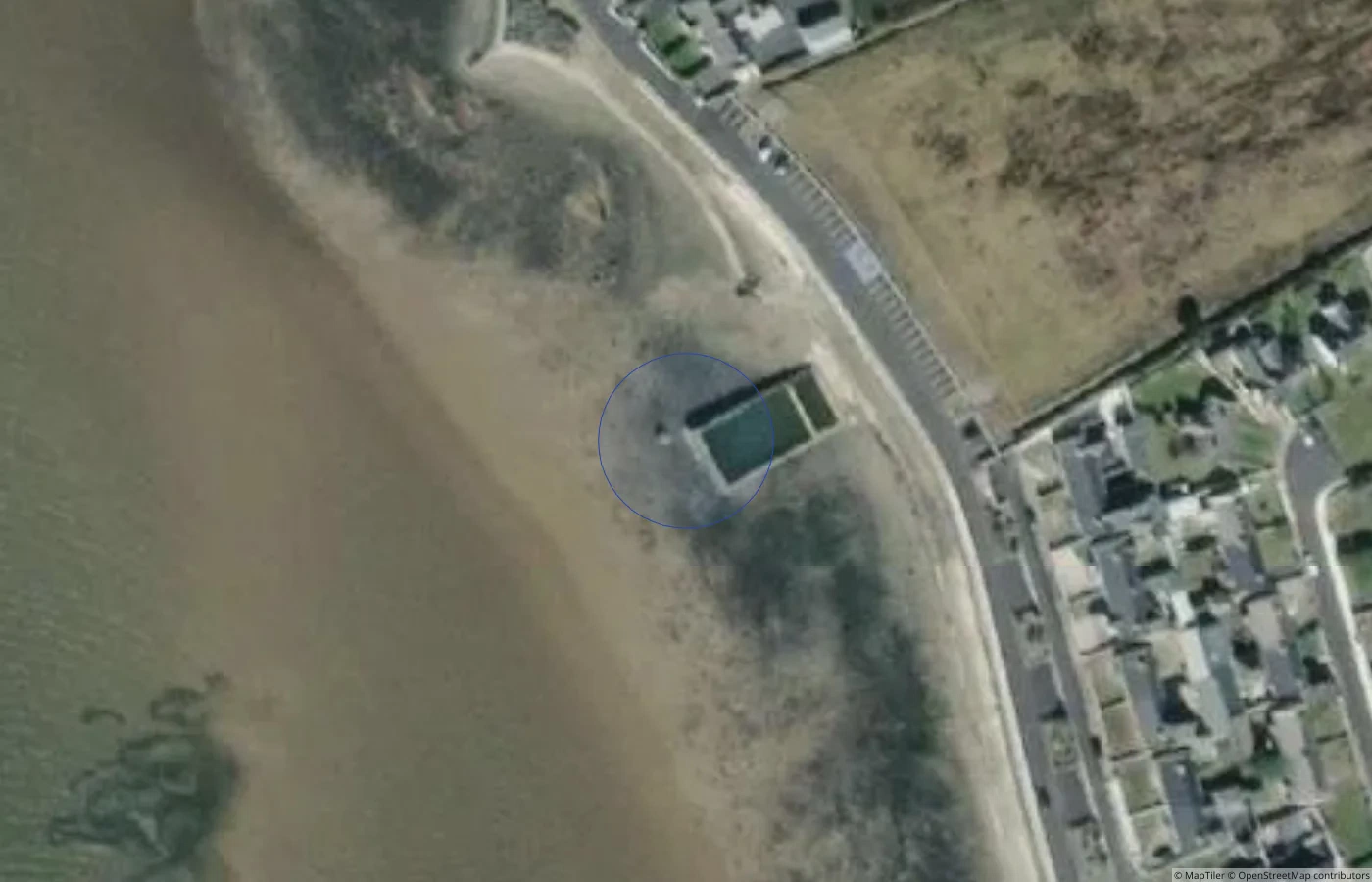 Beach
BeachMayo
Belmullet Tidal Pool and Shore Road Bathing Area
0.7 km straight-line distance
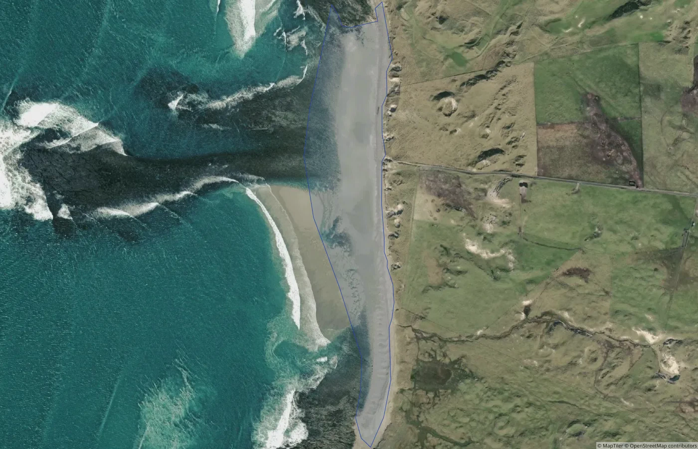 Beach
BeachMayo
Carne Golf Coast Beach
4.1 km straight-line distance
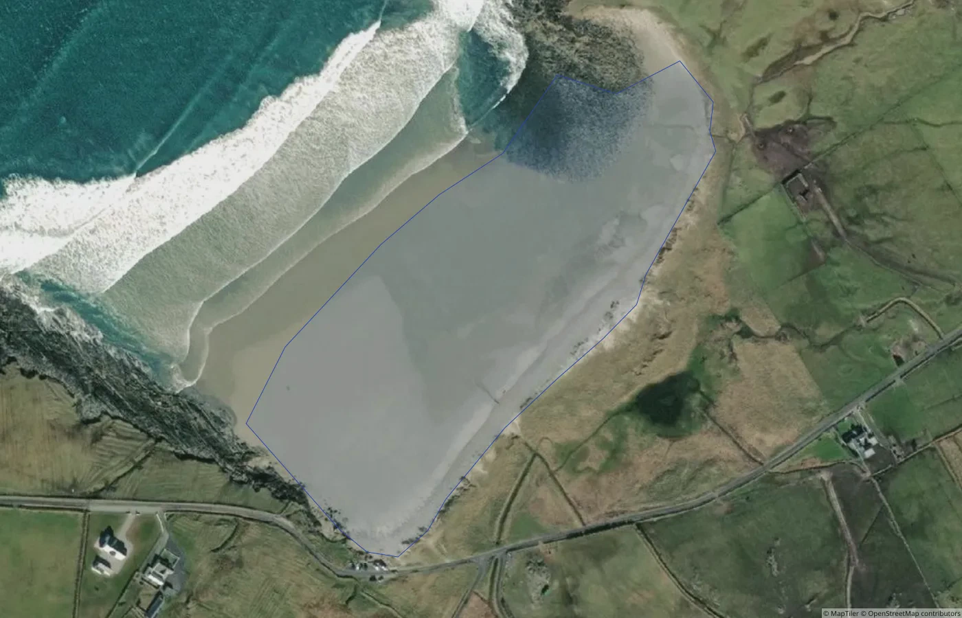 Beach
BeachMayo
Belderra Beach
4.7 km straight-line distance
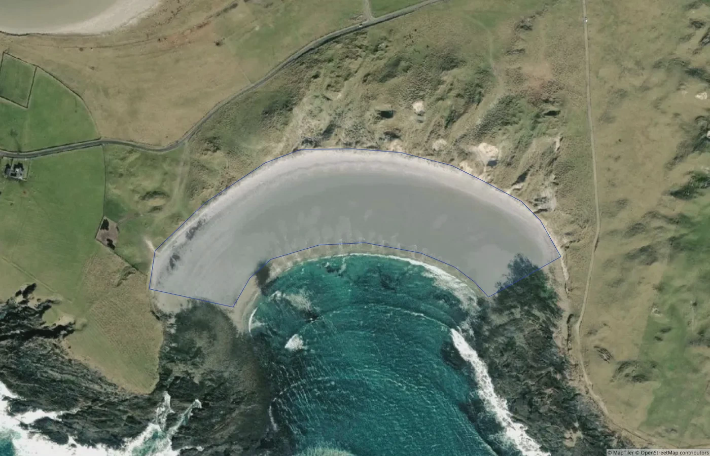 Beach
BeachMayo
Unnamed Natural Shore — Mullet Peninsula North Coast 01
5.0 km straight-line distance