
Beach guide · County Kerry
Fenit Beach, County Kerry
Sheltered sandy bathing beach with a promenade at Fenit
Four ways to orient yourself
Views of Fenit Beach
These are map-derived orientation views, not documentary photographs.
Plan the visit
Know before you go
Confirmed, unavailable and unknown are kept separate. Conditions and services can change; check notices when you arrive.
The place
About Fenit Beach
Fenit Beach is a relatively sheltered sandy bathing beach facing south into Tralee Bay. A concrete promenade runs behind the shore, and the official profile records walking, swimming, sailing, surfing and angling around a bathing area about 160 metres wide. Google Maps identifies the same visitor shore as Fenit Strand. Check current water-quality notices, weather, tide and lifeguard arrangements before planning a swim.
Beach details
What the evidence records
Continue nearby
Other places from this point
Distances below are straight-line measurements, not walking or driving distances.
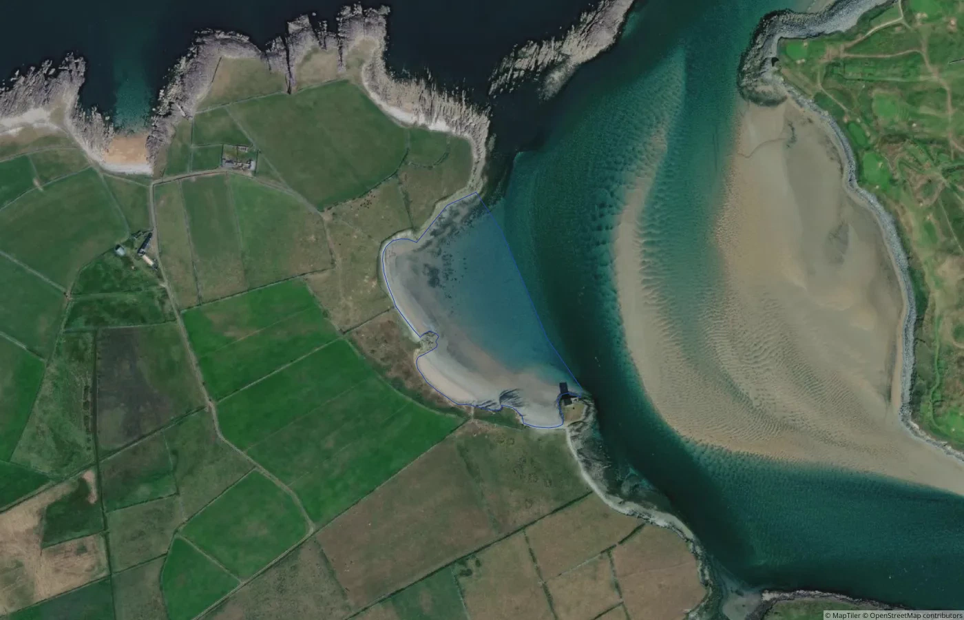 Beach
BeachKerry
Fenit Island Beach
2.7 km straight-line distance
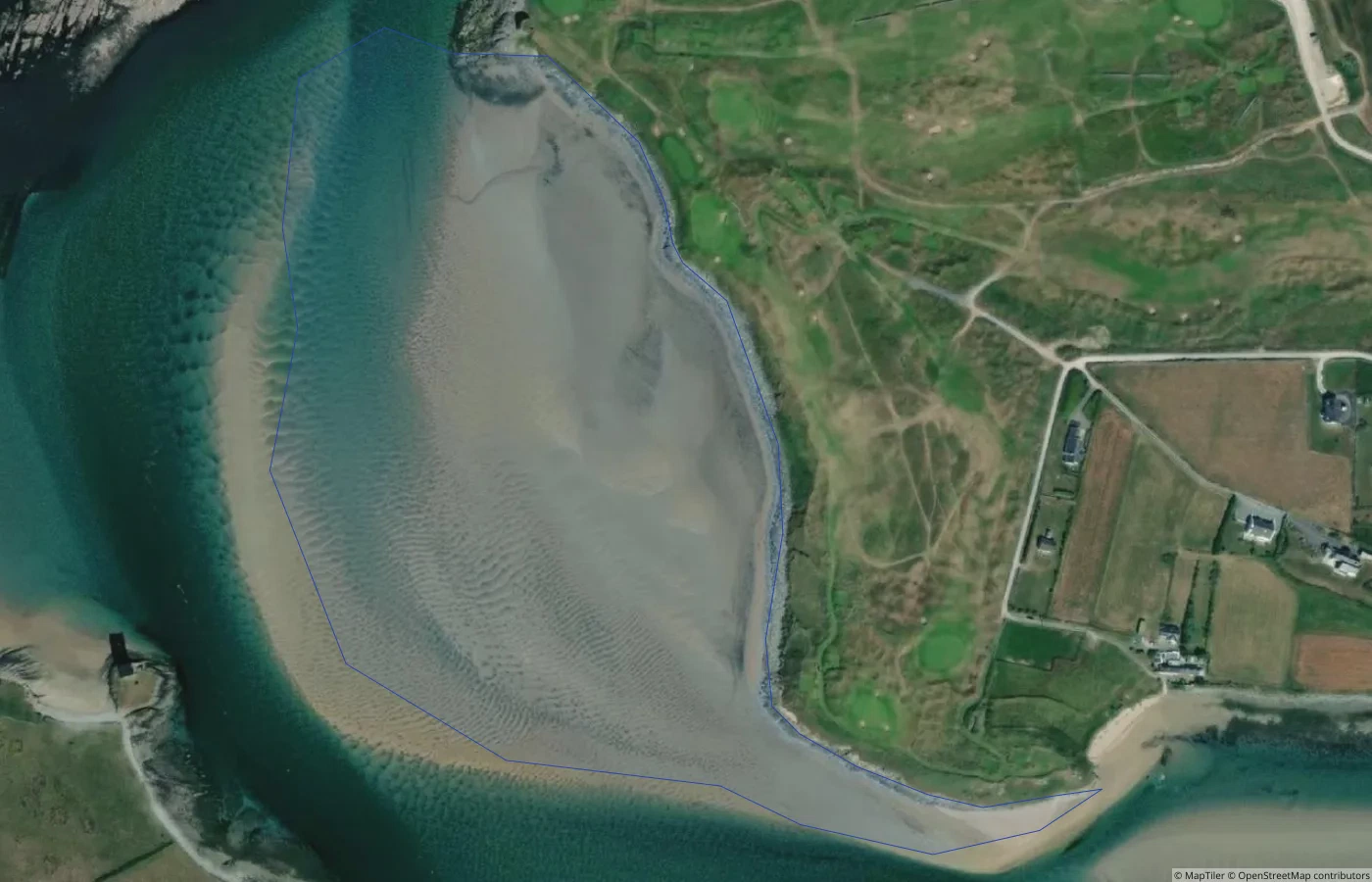 Beach
BeachKerry
Unnamed Shore behind Tralee Golf Club
2.7 km straight-line distance
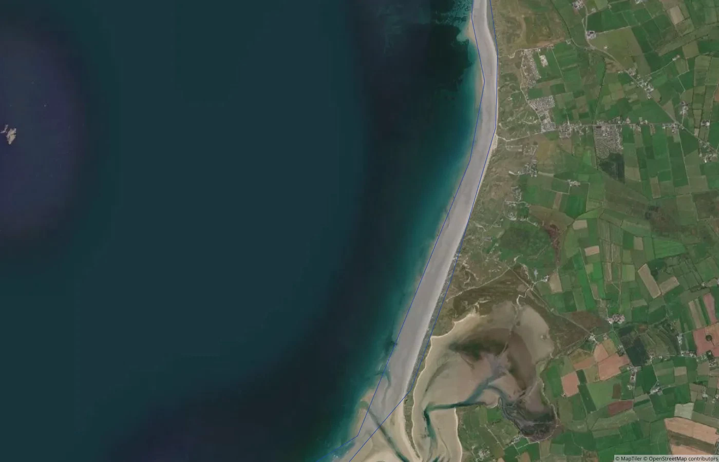 Beach
BeachKerry
Banna Strand
2.9 km straight-line distance
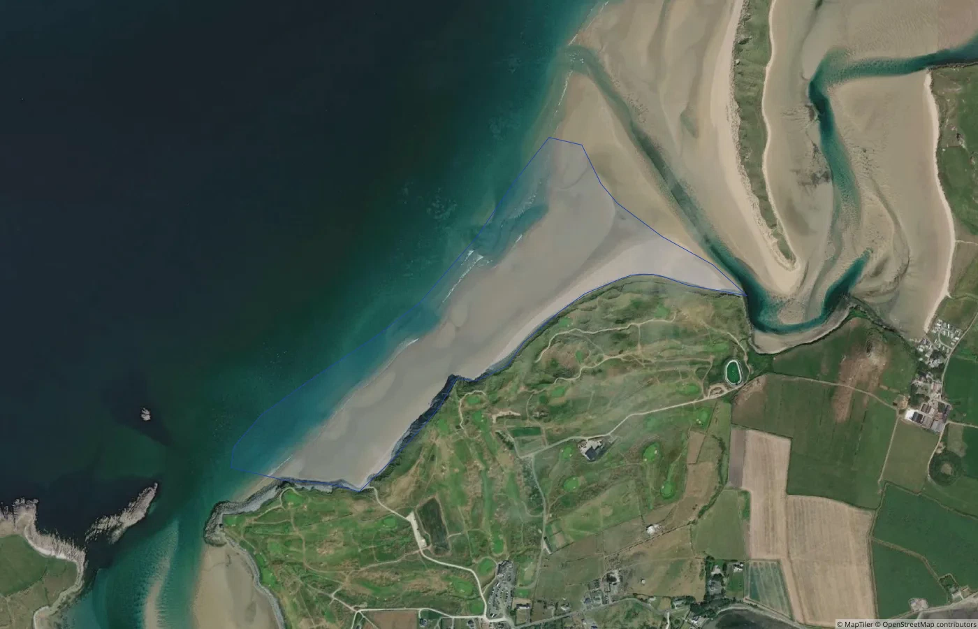 Beach
BeachKerry
Barrow Beach
3.6 km straight-line distance